57.727982, 26.935879
GPS: 57° 43' 41" N, 26° 56' 9" E
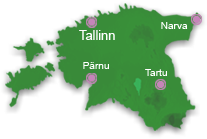
Rõuge is located on the north-western edge of Haanja highland in Võrumaa with picturesque dome landscape with long and deep Rõuge primeval valley. The name of Rõuge is worn by small town, rural municipality and former parish. Rõuge primeval valley is 10 kilometres long and in its central part there is Rõuge central settlement. The meeting place Kiidi remains in the north-west, 2 km from Rõuge.
The valley has incurred millions of years ago, being once up to 60 m below today's sea surface. The surroundings of Rõuge has been very long time ago settled. The settlements were erected just near the water bodies, as water gave food and was the connection bridge with the rest of the world.
Archaeological data notify of the first residents in Rõuge at the first half of the first millennium. The ancient settlement has been in the cape between Liinijärve and Ööbikuorg. The small stronghold has been established in the higher part of the cape with the area of 850 square metres in about 8th century.
The stronghold built of soil and logs has been used as the living place and fortification up to the 11th century, this has been burnt down for six times and again rebuilt.
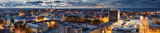
Suur Munamägi is the highest point in the Baltics and stands at 317,6 metres from sea level. The observation tower on Suur Munamägi provides a splendid view of Estonian nature within the range of 50 km. The existing tower is the 5th in number; it was bu...
Since October 2010 on the Nature reserve of the Piusa caves, near the Museum Cave, the Piusa Caves Visitor Centre has been open. The purpose of the visitor centre is to contribute to the protection of the Piusa caves and protected species by the ye...


)
)
)
)

)
)
)