57.552223, 26.565556
GPS: 57° 33' 8" N, 26° 33' 56" E
Go from Saru on Võru-Valga road to Kuutsi - Tiitsa - Karisöödi - Ura - Naha (14 km). The nature trail is 4,8 km long and it takes approximately a 2-3 hours walk to pass it. The trail begins near a big oak tree in Naha farm and runs along the Estonian-Latvian border. It is interesting to know that one can not set its foot down on the Estonian southernmost point – the exact geographical southernmost point of Estonia lies right in the middle of the River Peetri.
Suur Munamägi is the highest point in the Baltics and stands at 317,6 metres from sea level. The observation tower on Suur Munamägi provides a splendid view of Estonian nature within the range of 50 km. The existing tower is the 5th in number; it was bu...
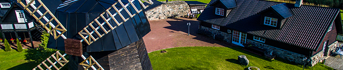
Since October 2010 on the Nature reserve of the Piusa caves, near the Museum Cave, the Piusa Caves Visitor Centre has been open. The purpose of the visitor centre is to contribute to the protection of the Piusa caves and protected species by the ye...


)

)

)
)
)